 |
| 1977 Orienteering Map of Brand Wood (note there normally is public access - but just for solo jogging and walking - nothing organised permitted) |
 |
| I last visited here on 26th June 1977 |
 |
| Here are the results - I won M15 |
And now here is what the course looks like today:
 |
| Start - the path is just detectable but the depression has gone |
 |
| Control #1 - A platform - bit closer to the main path junction than mapped but it is the only one around so I must be in the right place |
 |
| Control 2 - "Tower" - No evidence remaining. I guess it was for deer shooting. |
 |
| #3 Pond, has not had standing water for a very long time. The surrounding forest block has been recently felled. |
 |
| #4 Arboreal Oddity or Rootstock Neither in evidence but all bearings lead here. |
 |
| #5 Reentrant Not on the '77 map and now abandoned extraction cut/track suggests that the slope was felled and replanted since the map was surveyed |
 |
| #6 Small Hill, Top |
 |
| #7 - Knoll Not 100% sure I am in the right place - but fits with nearby steep slope, ditch and other features |
 |
| #8 - Arboreal Oddity! |
 |
| #9 - Eastern Small Gully |
 |
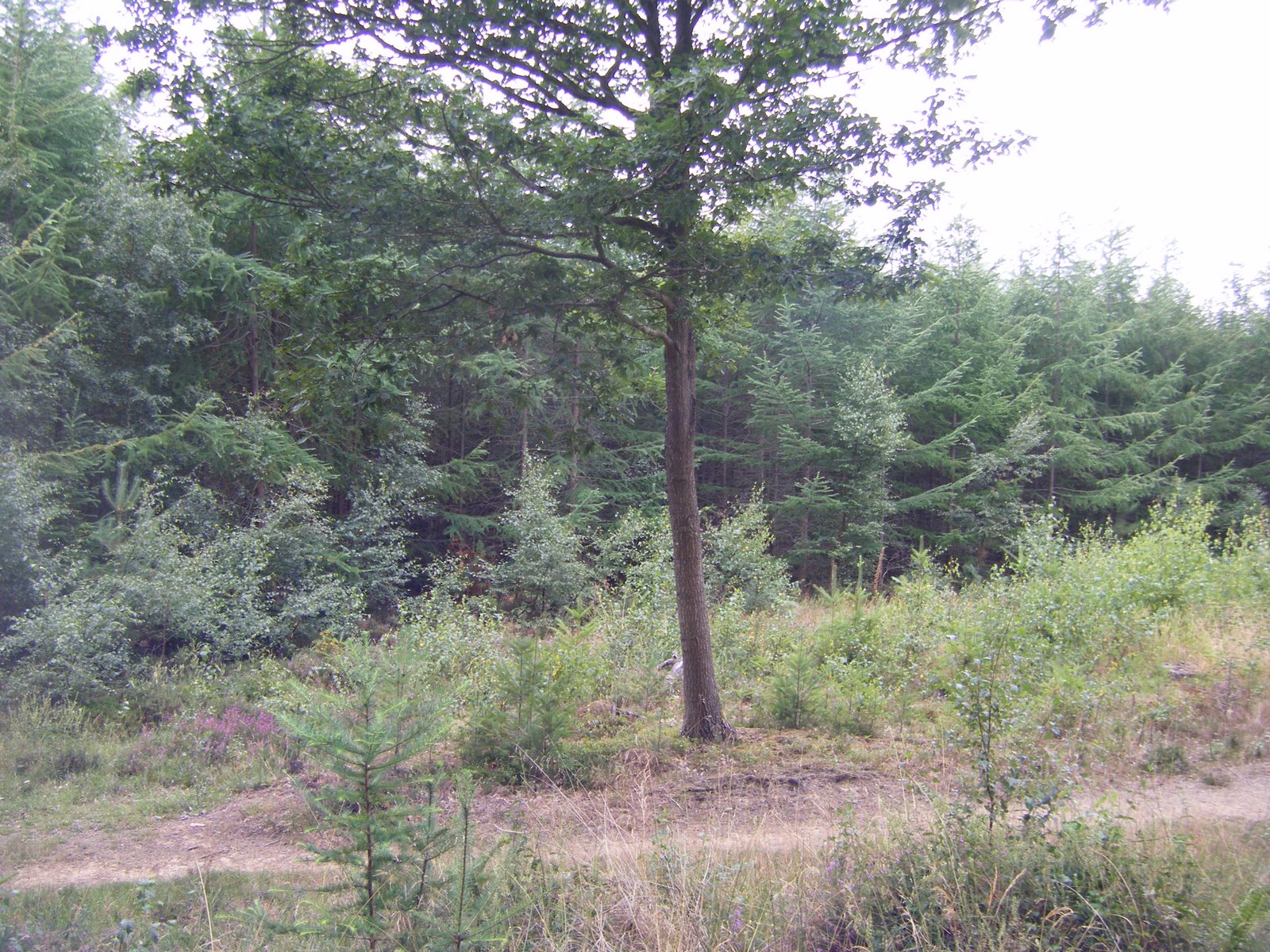
| #10 - Clearing (The trees have grown up) |
 |
| #11 - Arboreal Oddity |
 |
| #12 Fence Corner |
 |
| The Finish |

No comments:
Post a Comment